
Landvision Surveying
Work That Can Be Trusted
Precision Mapping, Seamless Construction, Reliable Results
Explore Our Services Contact Us Today
Work That Can Be Trusted
Precision Mapping, Seamless Construction, Reliable Results
Explore Our Services Contact Us Today
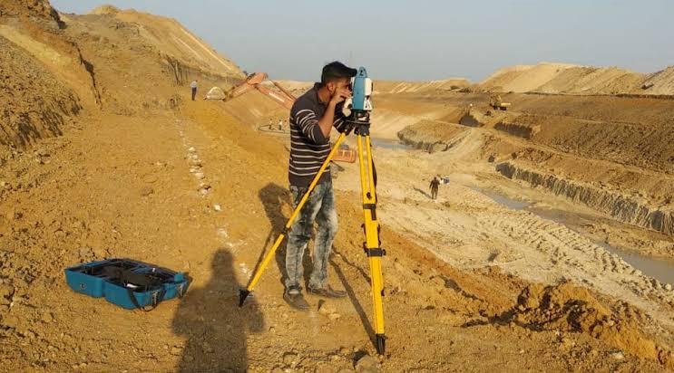
Landvision Surveying offers precise and reliable land surveying services across India. We support builders, developers, and landowners with state-of-the-art tools and experienced professionals. Our mission is to ensure your projects begin with a rock-solid foundation built on accuracy, professionalism, and technical excellence.
For more details, please see our complete Company Profile.
Detailed measurements of land elevation for planning and design.
Clear legal boundaries to resolve disputes and secure ownership.
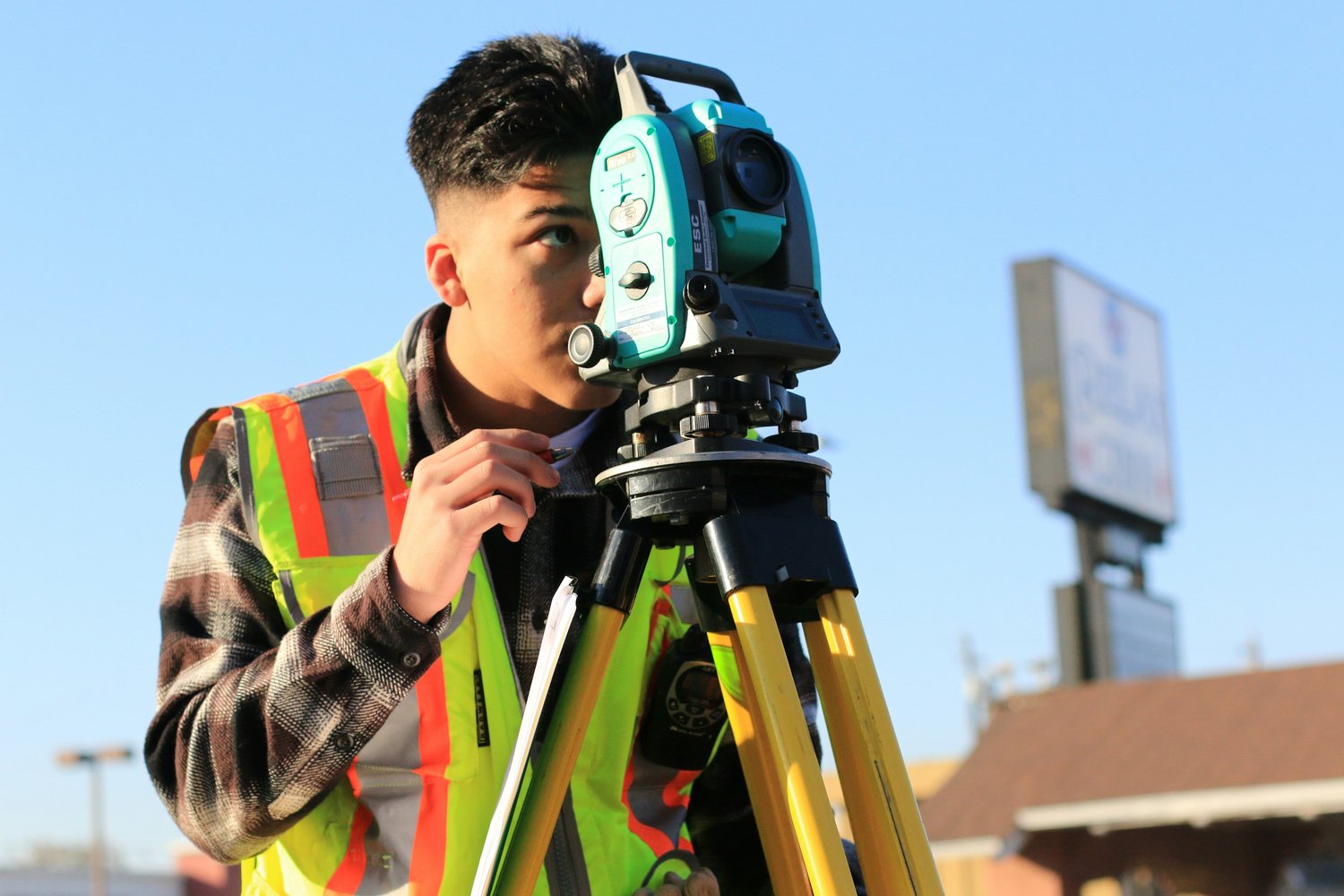
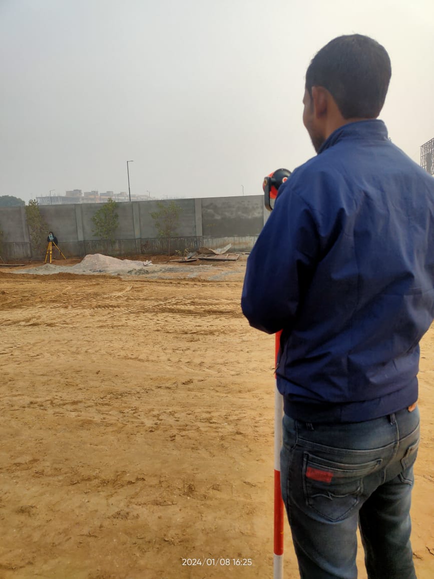
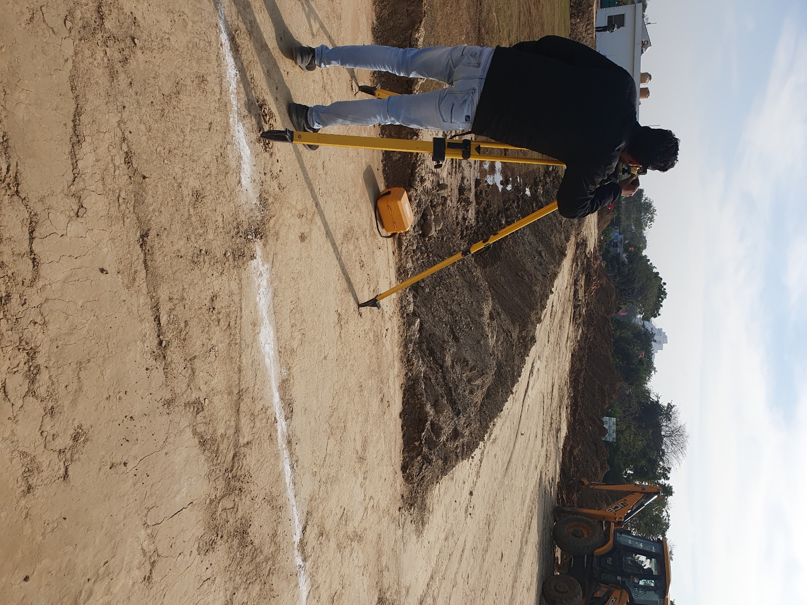
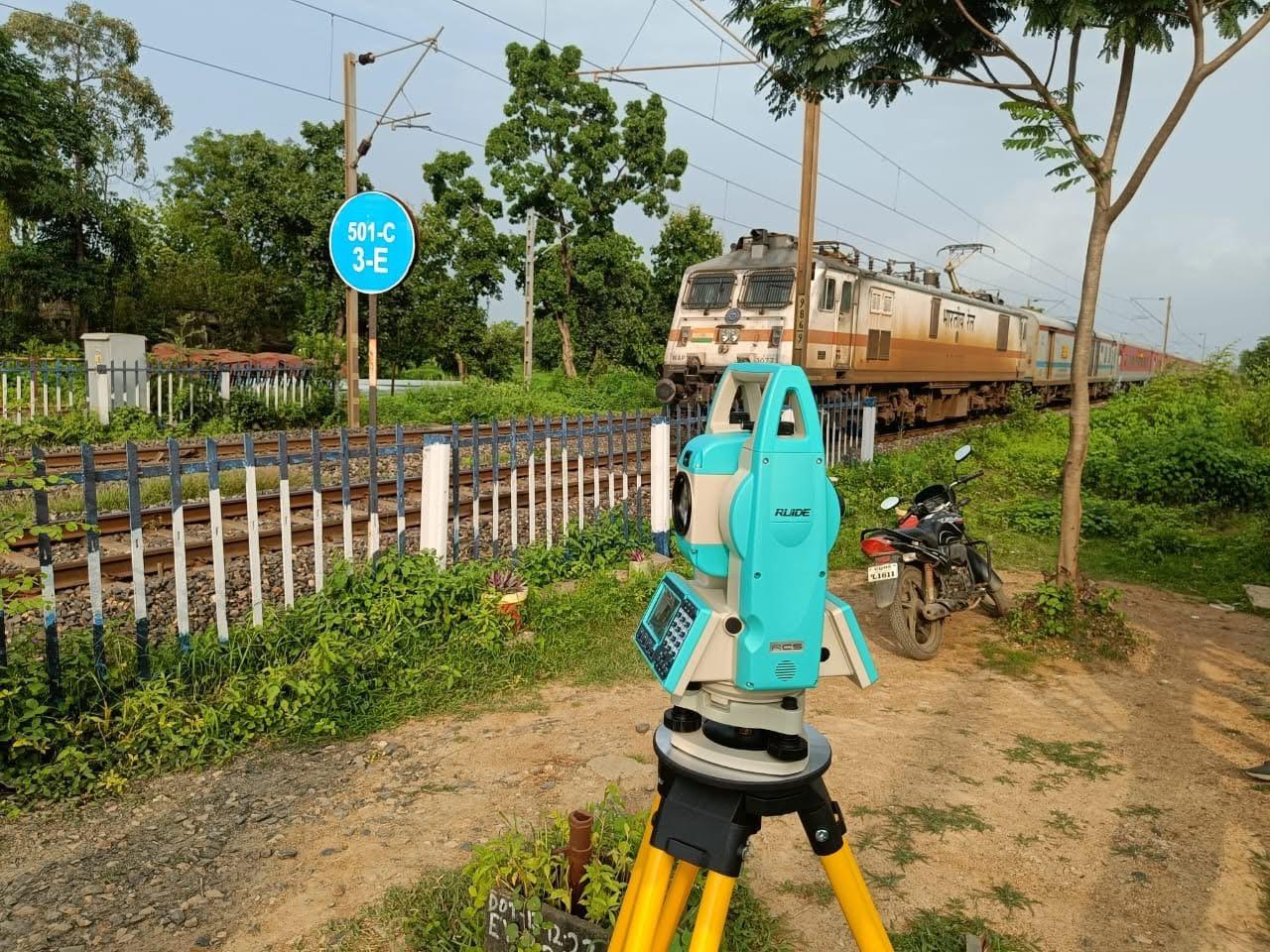
Markings for accurate construction, road layouts, and utilities.

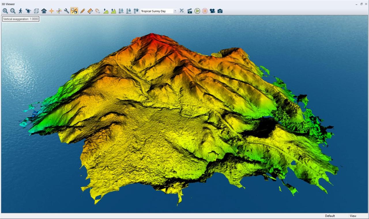
High-resolution 3D mapping using drone technology for large sites.
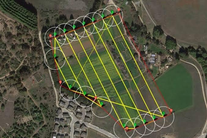
Accurate mapping services for land planning and analysis.
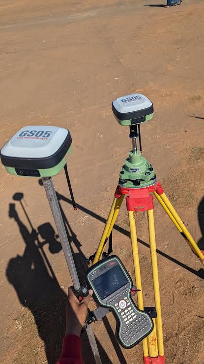
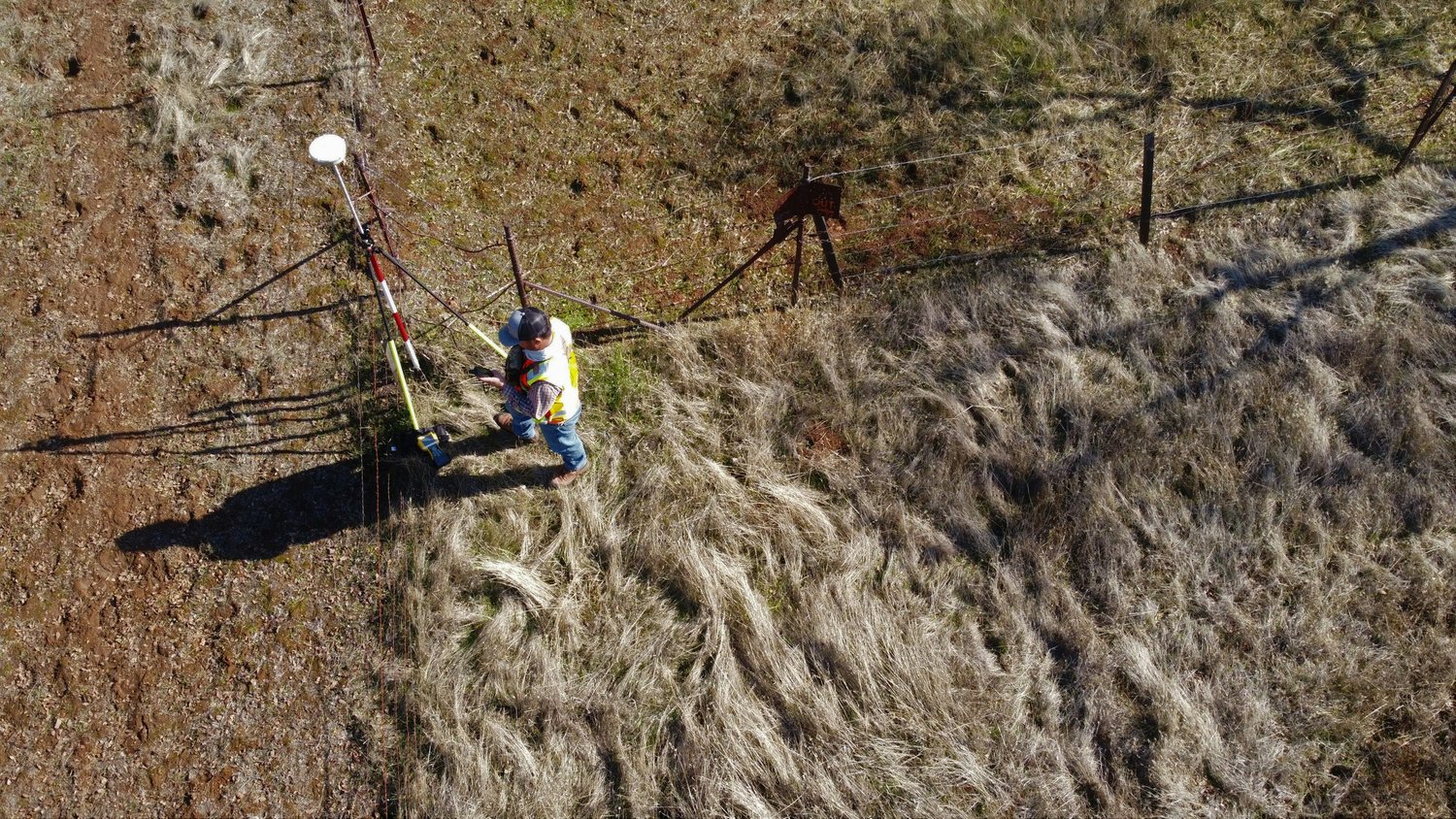
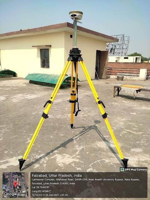
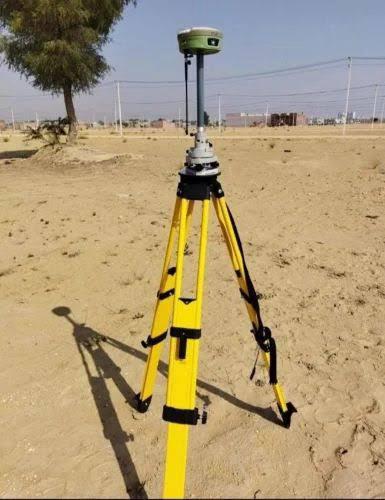
High-precision DGPS surveys for boundary and alignment accuracy.

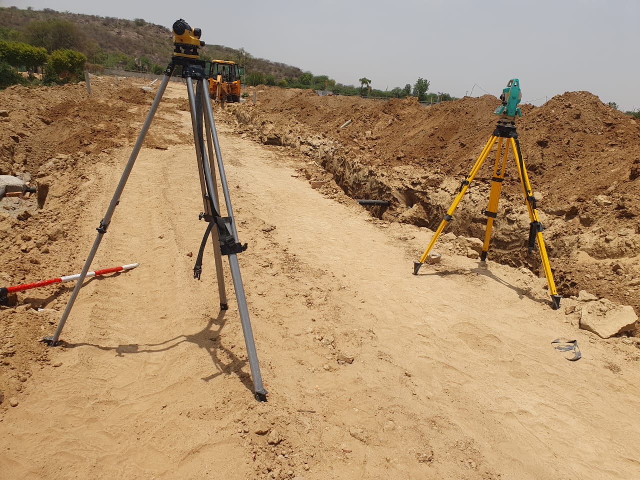
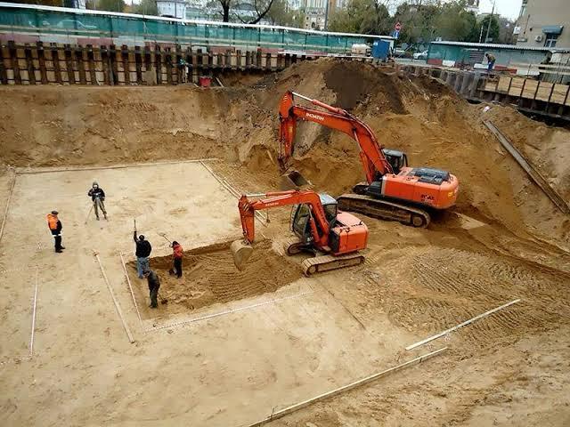
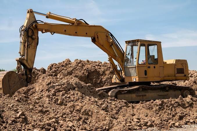
Estimation of soil volume and excavation needs for site preparation.

Contour mapping for slope analysis and construction planning.
"Landvision Surveying turned a complicated project into a smooth experience with their professionalism and detailed work. Highly recommended!"
"Their team is knowledgeable, friendly, and precise. We will definitely work with them again for future developments."
Phone: +918222835005
Email: landvisionsurveying@gmail.com
Address: Opposite Sri Ram Vatika,Fazalpur Alawalpur Road, Palwal, Haryana 121102